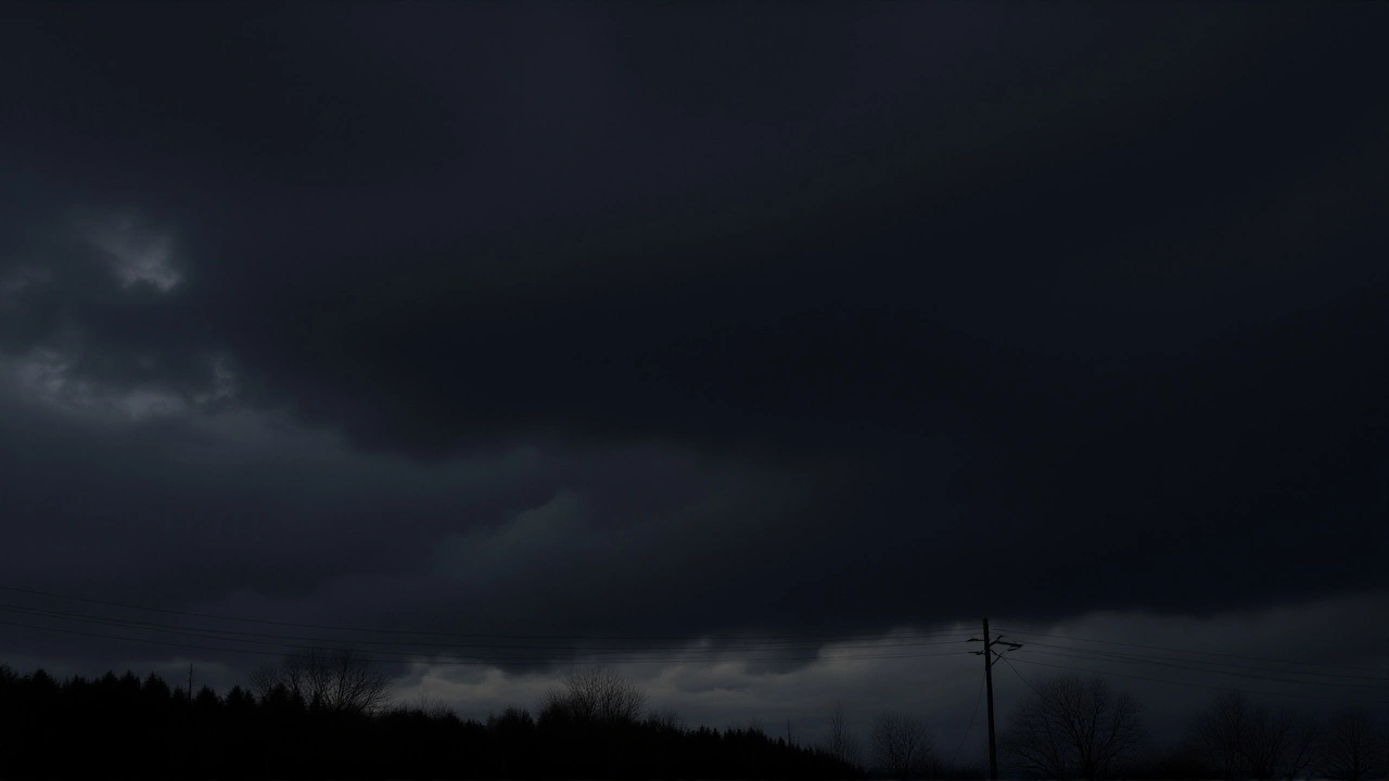
When the India Meteorological Department (IMD) issued its latest bulletin, it wasn’t just another routine forecast. It was a warning of a stark divide across the subcontinent. While residents of Delhi and neighboring states brace for biting cold and dense fog driven by Himalayan snowfall, southern India is preparing for thunderstorms and gale-force winds. The weather systems are moving fast, and the contrast between the freezing north and the stormy south couldn't be sharper.
The core of this story lies in the mountains. Heavy snowfall in the western Himalayas acts as a natural refrigerator for Northern India. As cold air masses descend from high altitudes, they push down into the plains, triggering what meteorologists call a cold wave. But here’s the twist: while the north shivers, the south sweats through storms. It’s a classic late-winter pattern, but the intensity this season has caught many off guard.
The North Freezes: From Mountains to Plains
The chain reaction starts high up. In Jammu and Kashmir, light rain mixed with snow is expected on February 26 and 27. By February 27 and 28, the chill moves eastward, affecting Himachal Pradesh and Uttarakhand. Frost has already formed in lower hilly areas, a clear sign that temperatures have dipped below freezing overnight.
But the impact doesn't stop at the foothills. That cold air spills over into the national capital region. According to recent IMD data, minimum temperatures in Delhi could plunge to around 5°C. Imagine waking up to a city wrapped in thick, white fog so dense you can barely see your hand in front of your face. Visibility drops drastically, leading to traffic gridlock and flight delays. This isn't just uncomfortable; it's hazardous.
In Uttar Pradesh, the situation is similar but widespread. Cities like Kanpur, Lucknow, Agra, and Prayagraj are under alerts for dense to very dense fog. The cold isn't uniform, though. While some areas see mild drops, others experience a sharp decline. For instance, in Bihar, the IMD predicts a drop of approximately 5°C in minimum temperatures over a 72-hour period. That’s a significant shift that turns a chilly morning into a bone-chilling ordeal.
Southern Storms: A Different Kind of Chaos
While the north huddles under blankets, the south is dealing with water and wind. The weather narrative changes completely once you cross the Vindhya range. Over the Andaman and Nicobar Islands, residents are facing light to moderate rain accompanied by lightning and winds gusting between 30 and 40 kilometers per hour. These aren't gentle breezes; they’re strong enough to disrupt coastal activities and pose risks to maritime operations.
On the mainland, Telangana and North Interior Karnataka are also in the crosshairs. Thunderstorms with strong winds are likely, bringing a sudden, violent change to the day. Farmers in these regions need to stay alert, as such weather can damage crops or delay harvesting. The juxtaposition is striking: one part of the country is fighting ice, while the other battles deluge.
The Heat Is On in Rajasthan
If you think the weather extremes end there, think again. In Rajasthan, the story is entirely different. There is no rain in sight. Instead, the heat is building. Forecasts indicate that temperatures will rise by 2°C to 4°C over the coming week. With skies remaining clear and dry, daytime highs are climbing steadily. It’s an early taste of summer, reminding us how vast and varied India’s climate truly is.
This tripartite weather scenario—cold in the north, storms in the south, and heat in the west—highlights the complexity of monsoon-adjacent weather patterns. It’s not just about "winter" or "summer." It’s about localized systems interacting with global pressure belts in real-time.
Why This Matters to You
Beyond the numbers, this weather affects daily life. Commuters in Delhi-NCR should expect delayed trains and flights due to low visibility. Drivers in Uttar Pradesh and Bihar need extra caution during morning hours when fog is thickest. Meanwhile, travelers to the Andamans should check flight status updates regularly, as wind speeds can lead to cancellations.
Agriculturally, the cold snap in Bihar and UP might help certain winter crops, but prolonged frost can damage sensitive varieties. Conversely, the rains in the south provide much-needed moisture, though the accompanying thunderstorms carry risk. Understanding these nuances helps communities prepare rather than just react.
Frequently Asked Questions
How does Himalayan snowfall affect Delhi's weather?
Snowfall in the Himalayas creates a reservoir of cold air. As this air descends into the plains, it lowers temperatures significantly in Delhi and surrounding areas. This process often brings dense fog and reduces visibility, especially in the mornings, leading to what is known as a cold wave.
Which cities in Uttar Pradesh are most affected by the fog?
Major cities including Kanpur, Lucknow, Agra, Prayagraj, Gorakhpur, and Noida are under alerts for dense to very dense fog. These conditions typically peak in the early morning hours before clearing up by mid-afternoon, usually around 2:00 PM to 3:00 PM.
Is it safe to travel to the Andaman and Nicobar Islands right now?
Travelers should exercise caution. The IMD has warned of winds reaching 30–40 km/h along with lightning and moderate rain. While not necessarily dangerous for all activities, these conditions can disrupt ferry services and outdoor tours. Always check local advisories before heading out.
Will the cold spell last long in Bihar?
The IMD forecasts a sustained cold period, with minimum temperatures potentially dropping by 5°C over 72 hours. Districts like Muzaffarpur, Patna, and Vaishali are particularly vulnerable. Residents should prepare for several days of intense chill, especially at night and early morning.
Why is Rajasthan getting hotter while the rest of the north gets colder?
Rajasthan is located far from the Himalayan influence and is currently under a high-pressure system with clear skies. Without cloud cover to trap heat at night or block sunlight during the day, temperatures rise steadily. This creates a dry, warming trend distinct from the moist, cold air dominating the eastern and northern plains.